


Trondheim in 3D
Trondheim in 3D
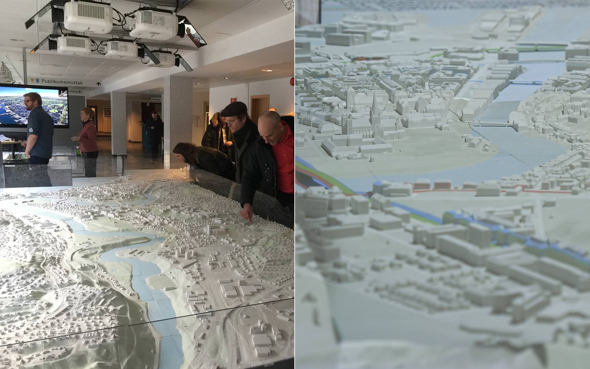
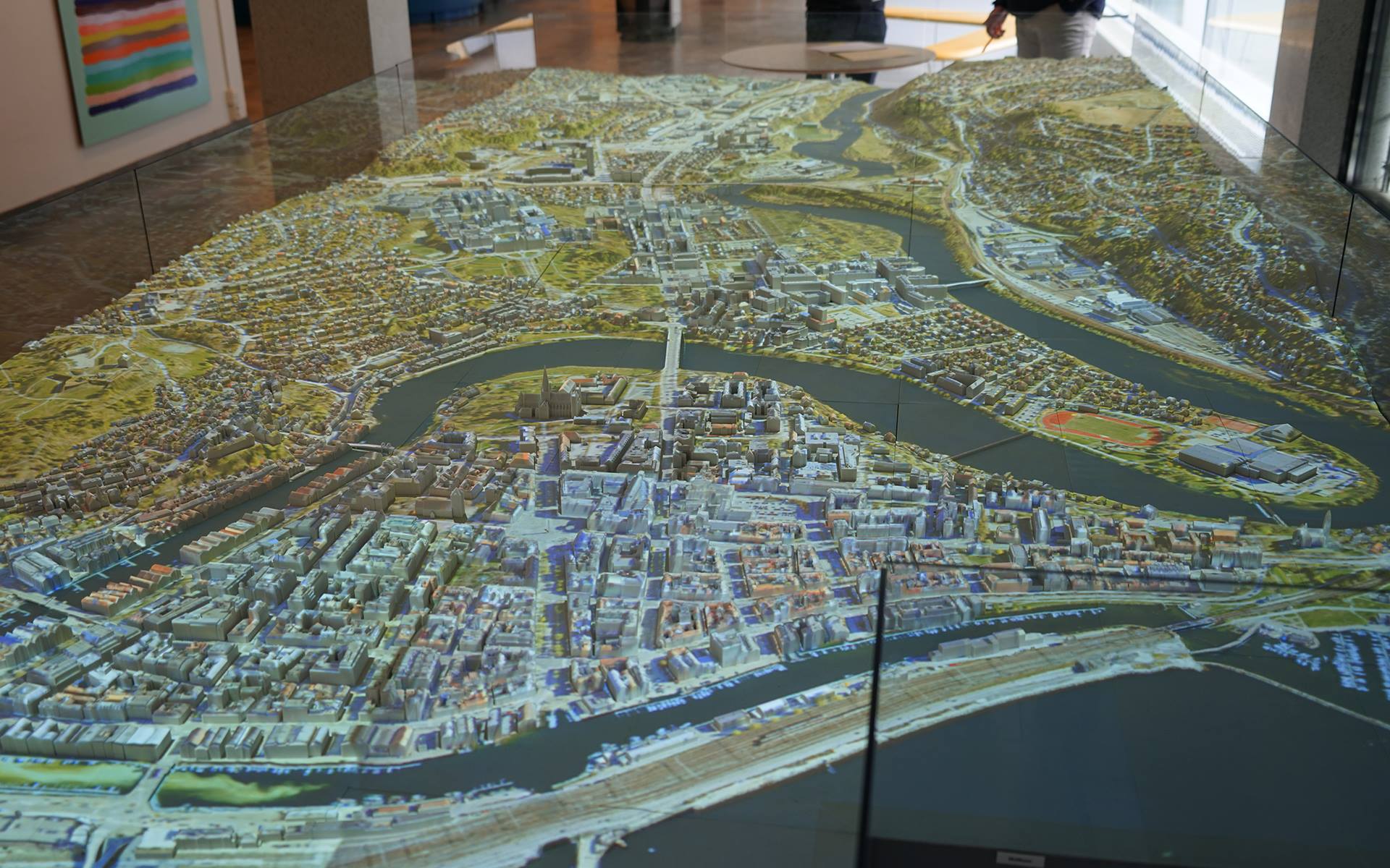
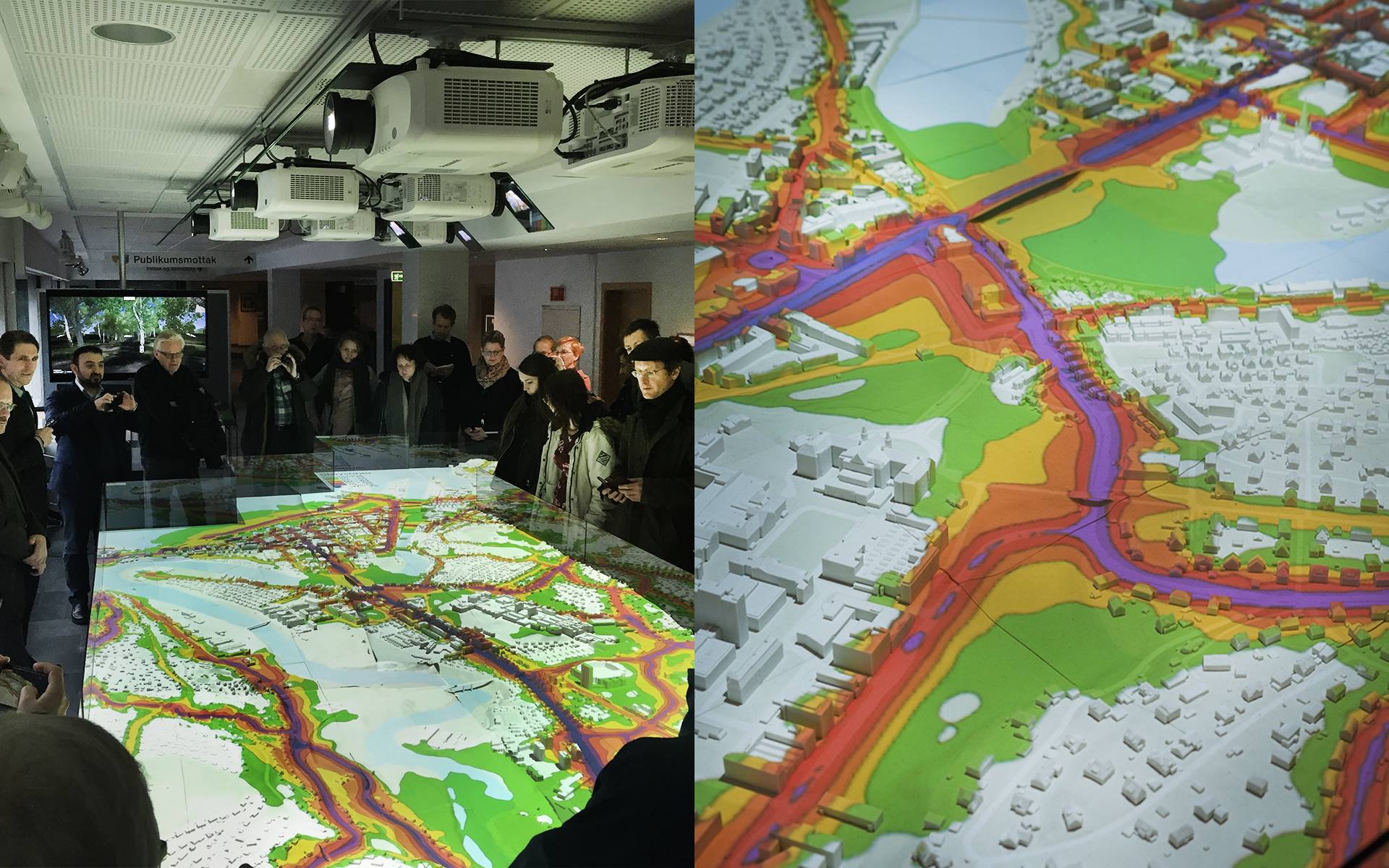
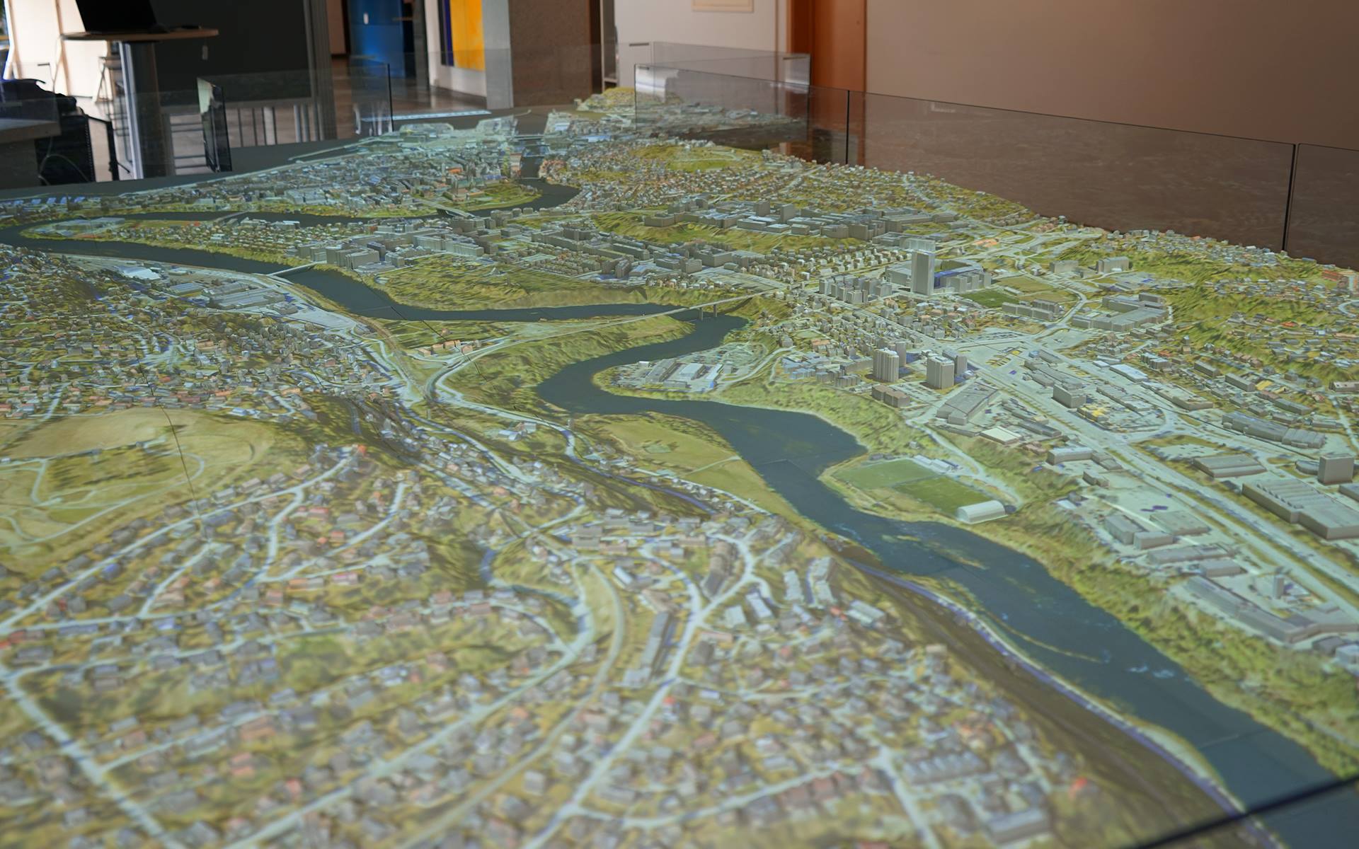
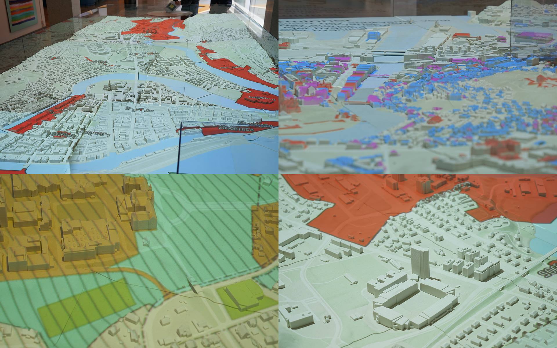
In 2014, Trondheim Municipality established a digital 3D city model for an area of approximately 36 km2 in and around the city center. The model is based on map data (FKB-A / B), laser data and orthophotos from 2014 and oblique images from 2013 and street images from 2014 (selected areas). The model is based on these software versions: 3ds Max Design 2014 Forest Pro 4.3.6 and Unity 4. Coordinate is EUREF89 UTM Sone32 and height system is NN2000.
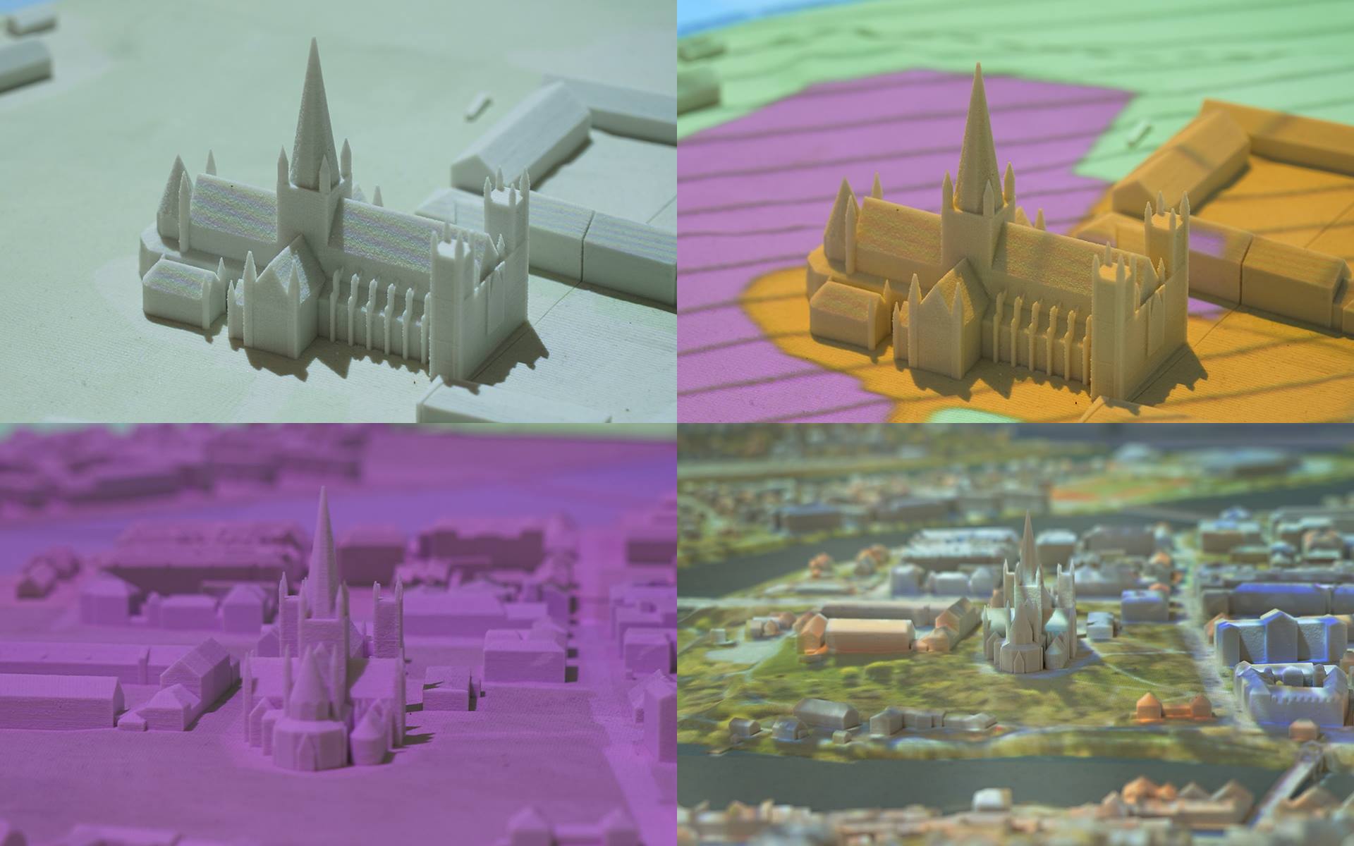
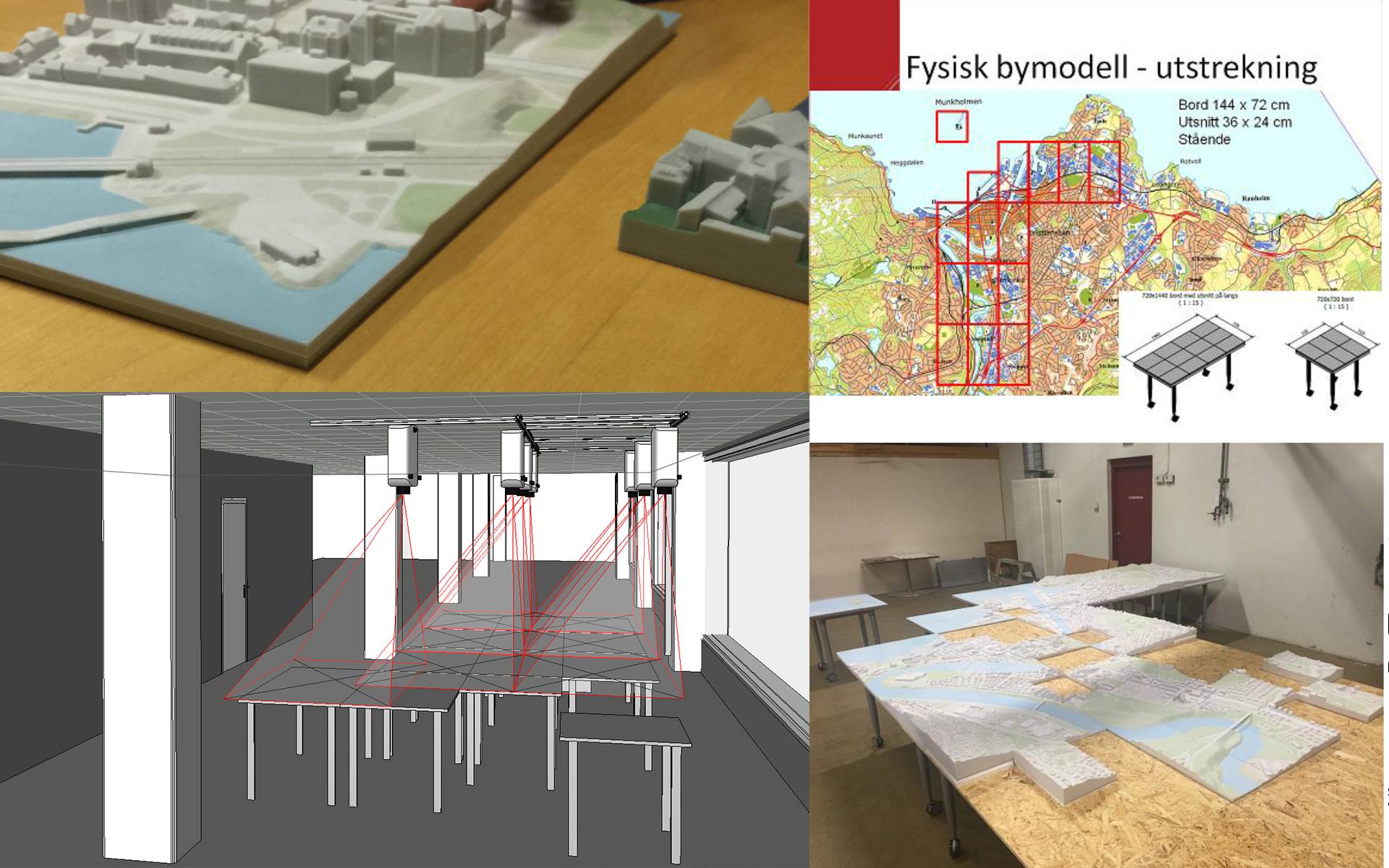
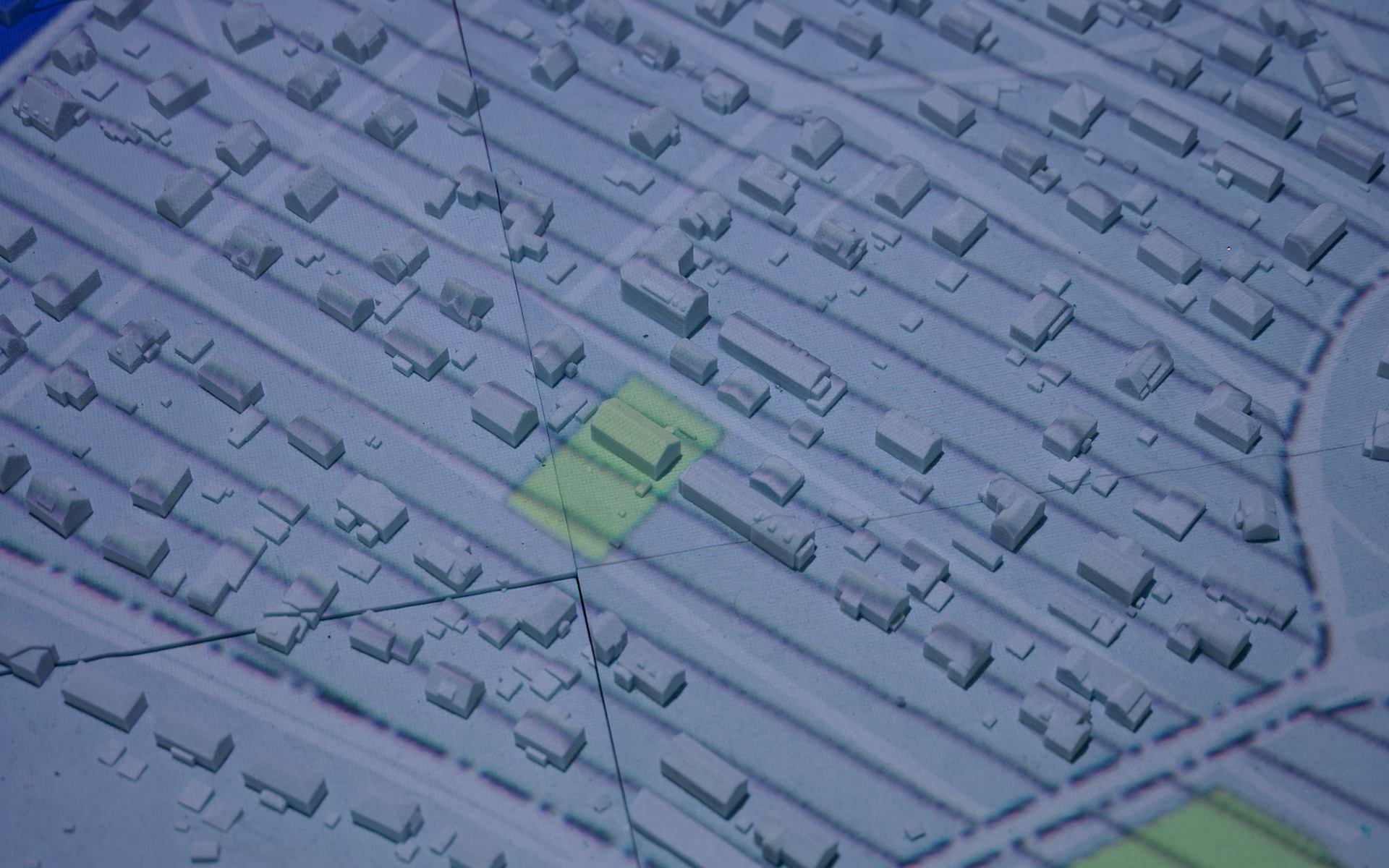
The model consists of: Terrain (based on laser and mapping), Vegetation (based on laser), Building (a selection of which is textured from photos, the rest of oblique images), second protruding objects from map data, 3D models, inter alia, Olav Tryggvason statue, Bridges and Tyholttårnet, municipality nationwide 3D model and voltage grid. The model is delivered to the Trondheim in three forms: Visualization Model, export model and VR model